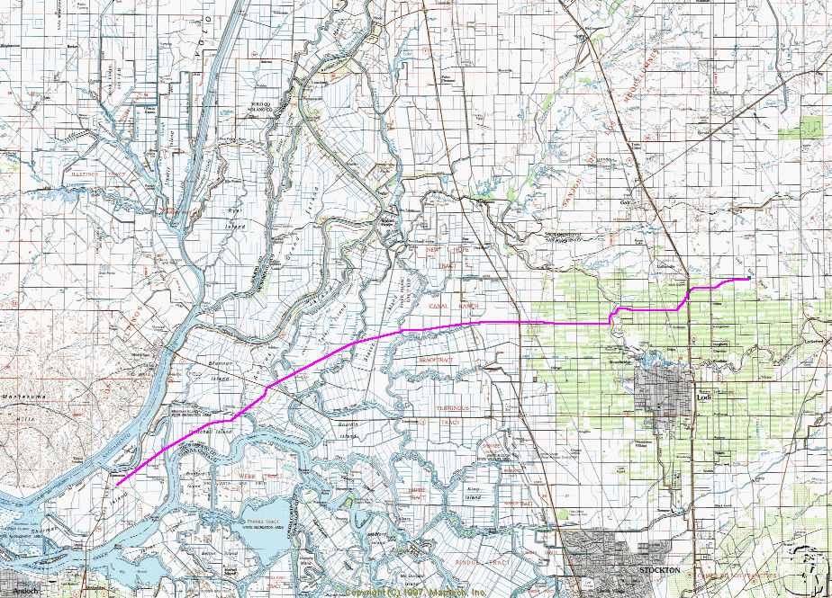
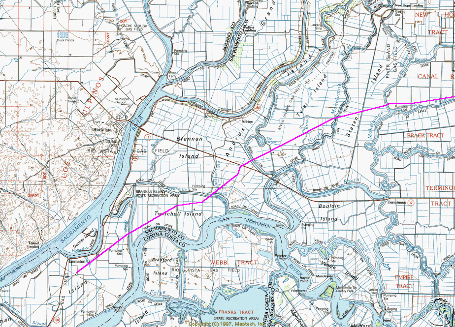
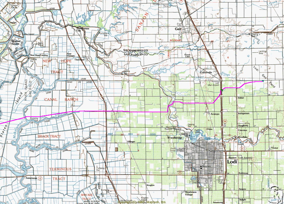
The Lodi gas field and its wells are located approximately three miles east of
Highway 99 and approximately 5.4 miles northeast of the City of Lodi in San Joaquin
County. The gas field covers an area of approximately 1450 acres. The applicant intends to
locate the compressor and dehydration station near the storage project, but the exact
location has not yet been determined. Please see the attached map for the site of the gas
field and the proposed route of the 33-mile pipeline. Depending on customer demand, the
pipeline will initially connect to PG&E at one or both of two locations: 1) near the
intersection of Acampo Road and the Western Pacific Rail Line in San Joaquin County and 2)
on Sherman Island in Sacramento County.
